science
Die Flächennutzung des Bergbaus im Blick: Erstes automatisiertes Satelliten-Tool für globales Minen-Monitoring - 22.09.2026
By Info60 World Desk•Summary of reporting by Helmholtz Zentrum Dresden Rossendorf•Sep 21, 2026•0 views•
Um die räumliche Ausdehnung von Bergbauanlagen und ihren Einfluss auf die Umwelt besser einschätzen zu können, hat ein Forschungsteam des Helmholtz-Zentrums Dresden-Rossendorf (HZDR) ein satellitengestütztes Fernerkundungs-Tool entwickelt (DOI: 10.1016/j.isprsjprs.2026.07.001). Das neuartige Werkzeug namens SHABA (Seasonal Harmonic Anomaly Break Analysis) analysiert auf Basis von Satellitenbildern die räumliche und zeitliche Dynamik der Vegetation. Das Besondere an SHABA ist, dass saisonale
ONLY AVAILABLE IN PAID PLANS
Read Full ArticleShare this story
Up next
Related Stories

AI-assisted method maps PV module losses from a single luminescence image
Finanznachrichten.de
Zomedica Corp.: Zomedica Announces Strategic Partnership with Veterinary Study Groups to Deliver Advanced Veterinary Technologies to Independent Practices
Finanznachrichten.de
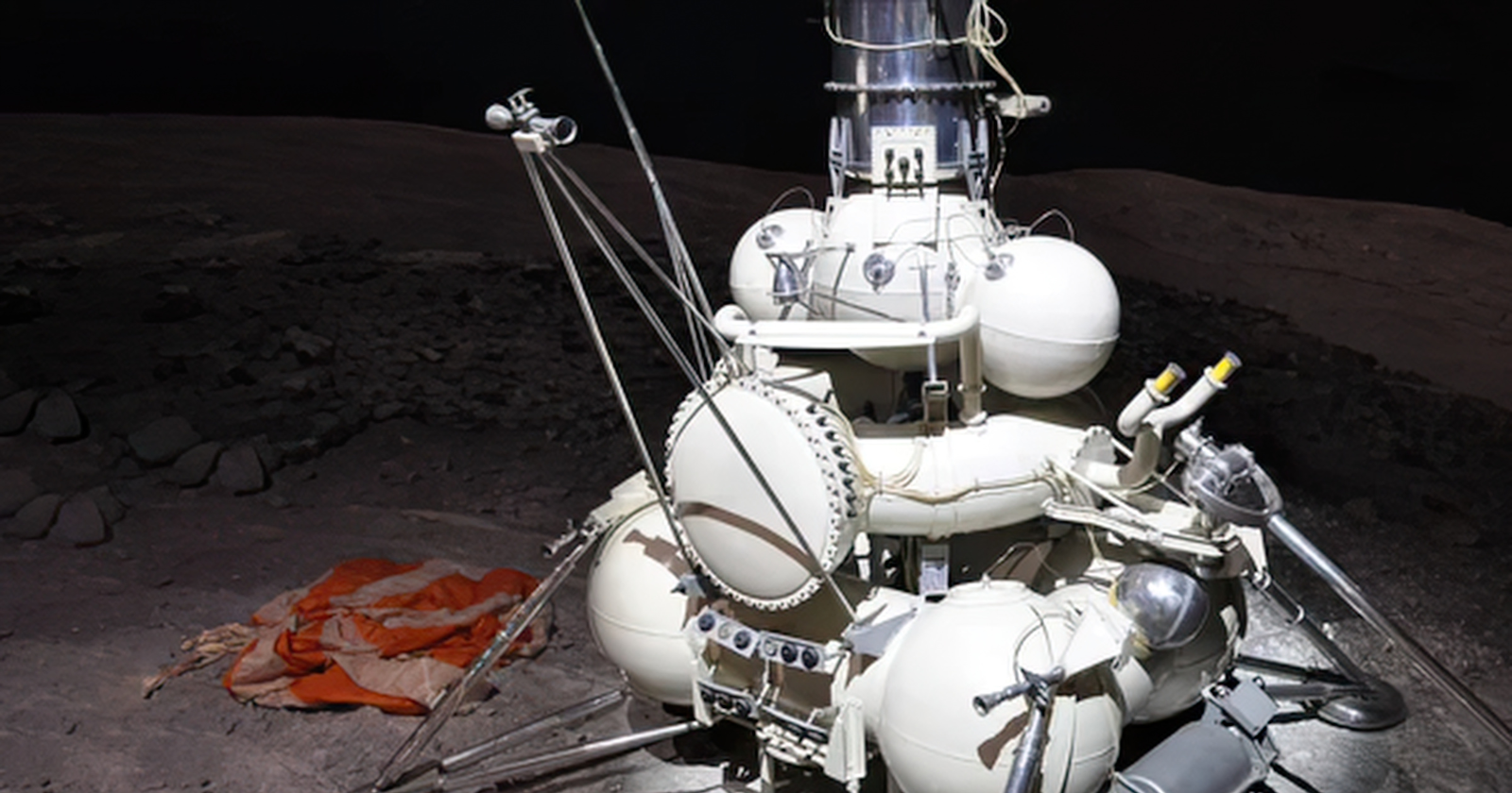
In 1967, NASA’s Surveyor 3 probe landed on the moon and fell silent, and two and a half years later Apollo 12 touched down just 600 feet away so two astronauts could walk over, photograph it and cut off its camera to carry back to Earth
Spacedaily
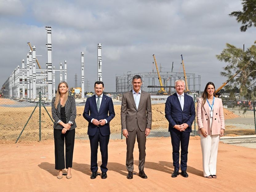
Moeve begins building Europe's largest green hydrogen plant in Huelva
Chemeurope
Regnology Research Maps Route From AI Pilots to Production in Regulatory Reporting
Finanznachrichten.de